Earlier in the year, Auckland Transport asked for feedback on cycling in and through the inner west suburbs, from Pt Chev to the city. That feedback (865 submissions!) has now been compiled and analysed, and the result is a refreshed plan. There are major cycling improvements on the way over the next few years, and others to follow.
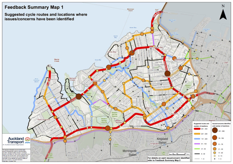
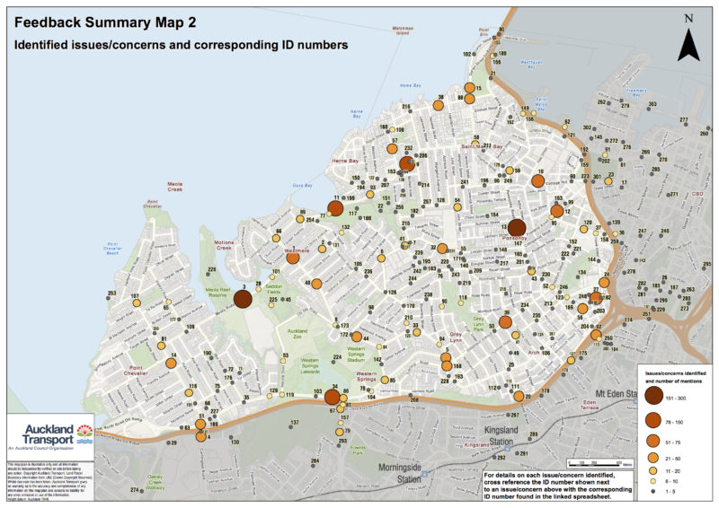
You can read more about the detailed public feedback in the consultation report – AT has created a couple of maps that give an overview of the volume and location of people’s thoughts about routes and obstacles. (Click for PDFs: 1, 2)
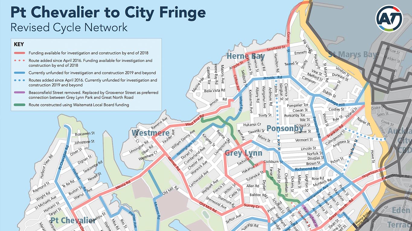
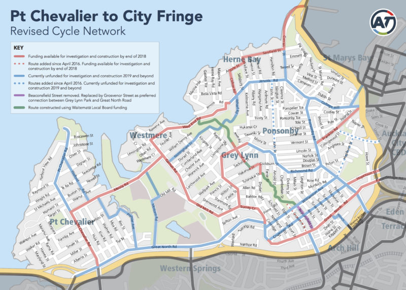
And here’s the revised network map, as a response to that feedback (click here for PDF version):
The red routes are those that can be investigated and built by the end of 2018 (or are already under way: Franklin Rd, for example, is about to break ground). And the blue routes are pegged for investigation and construction from 2019 and beyond.
Here’s what’s on the immediate horizon (with our notes in italics):
- Pt Chevalier to Herne Bay (from the intersection of Great North Road and Pt Chevalier Road, onto Meola Road, up Garnet Road, onto West End Road to the roundabout with Jervois Road). This will be a major alternative route to town, possibly drawing some bike traffic from the NW cycleway as well as opening up a whole new population within easy access of safe bike routes. We’re interested to see how Meola Rd is treated, as it’s quite a challenging section at the moment.
- Garnet Road, Old Mill Road and Surrey Crescent. A major ridge connection between Westmere and Grey Lynn that largely avoids the dips and valleys, and links residents to shops and schools.
- Great North Road (from Surrey Crescent to Ponsonby Road). Hallelujah!
- Hopetoun Street. Bonus – see below.
- Franklin Road. Pretty pleased about how this one turned out.
- Herne Bay to Westhaven. Already a popular ‘quiet route’ used by many a rider. And of course a future feeder route to SkyPath.
- Richmond Road (from Surrey Crescent to Mokau Street). This makes sense, as it passes local shops and helps link to Grey Lynn School.
- Grey Lynn Greenways route (from West End Road to Williamson Avenue through Cox’s Bay Park, Bayfield Park, Hukanui Reserve and Grey Lynn Park). Already in the process of great improvements, with widened paths through parks, thanks to the Waitemata Local Board.
This is all pretty exciting! Good to see also that AT promises to ‘dig once’ where possible – a great idea, given that maintenance works are occurring throughout the area. (Hopetoun between Ponsonby Rd and Pitt St will be getting an upgrade for bikes that ties in with some planned maintenance work, for example).
By the time it’s all built, says AT, over 17,000 households will be within 5 minutes of a cycle route. And given the density of schools and shops inside this area, this – combined with some slower speed treatments – is bound to make local bike trips a more meaningful option. (Not to mention biking to sports, the beach, parks, the zoo, etc).
As noted in the consultation report, although Ponsonby Road was one of the major routes people wanted to ride more safely on, it’s not on the immediate horizon as it ‘needs to be considered more holistically’.
Of course we’d love a magic wand and instant bike lanes there – but the holistic approach worked well on Franklin Rd to produce a solution. And by the time Ponsonby Road’s turn eventually comes, nearby bike-friendly boulevards like Franklin Rd, Great North Road, and Karangahape Road will be providing a shining example of how many more shoppers arrive by bus, foot, and bike than by cars – and the way prioritizing human experience over vehicle throughput can truly bring a street to life.
Keep an eye on AT’s official Pt Chev to the City project page for future updates.


