
In December Teva, our new Community Activation Manager, went on an adventure around the 5 Summits with Franklin Trails; a bike burb which bridges Tāmaki Makaurau, Auckland, and the Waikato region. The burb’s focus is on connecting the Franklin area with a network of trails, enabling people to choose to travel by bike between the small towns of the area. Read on to hear about their mahi as well as Teva’s experience of the 5 Summits Trail and Pukekohe.
As the saying goes, there is a first for everything. Little did I know, I was in for a treat. This blog is a window on my experience visiting Pukekohe hosted by the Franklin Trails crew. There is so much that can be said about them yet I will do my best to present to you what I discovered.
As a community activator in my new role at Bike Auckland, I felt invigorated for my second ever meeting with a bike burb, after paying my respects to the super vibrant and soulful Ōtara bike burb two days prior. Being a cycling enthusiast, my adventures consist of riding more or less the same urban areas for various reasons, be it commuting, adventuring, recreational, I tend to frequent the same streets day in, day out. Turns out, Tāmaki Makaurau extends far beyond where one can remember, especially me.

The moment I received the email about the Franklin Trails’ end of year group ride, my mind started ticking. I spent the coming days trying to create a picture of what’s required to venture to Pukekohe on a 100kms train/bike round trip adventure, adding a 5 Summits cycle trail into the mix for good measure – 25 kms loop around cultural/historical hills. The Trail has been accessible since 2019, put together by the Pukekohe Tramping Club in less than 8 months and minimal budget, with special thanks to the vision and mahi of Outdoor Access Champion, Judy Donovan. She has been paramount in the development of cycling inclusion in Pukekohe.
With the amount of preparation and logistics, it felt like I was heading on a camping trip. Snacks, fluids, waterproof clothing, sunscreen etc… Leaving home from Wesley, I planned to ride to the Newmarket train station to catch an early train to Papakura. The train link between Papakura and Pukekohe is undergoing major rail upgrades and is closed until late 2024. I understand it is a necessary evil but I felt very inconvenienced, all I wanted to do was sit back and relax in the comfort of public transport. Instead, I decided to ride the 20 kilometers separating Papakura to Pukekohe.
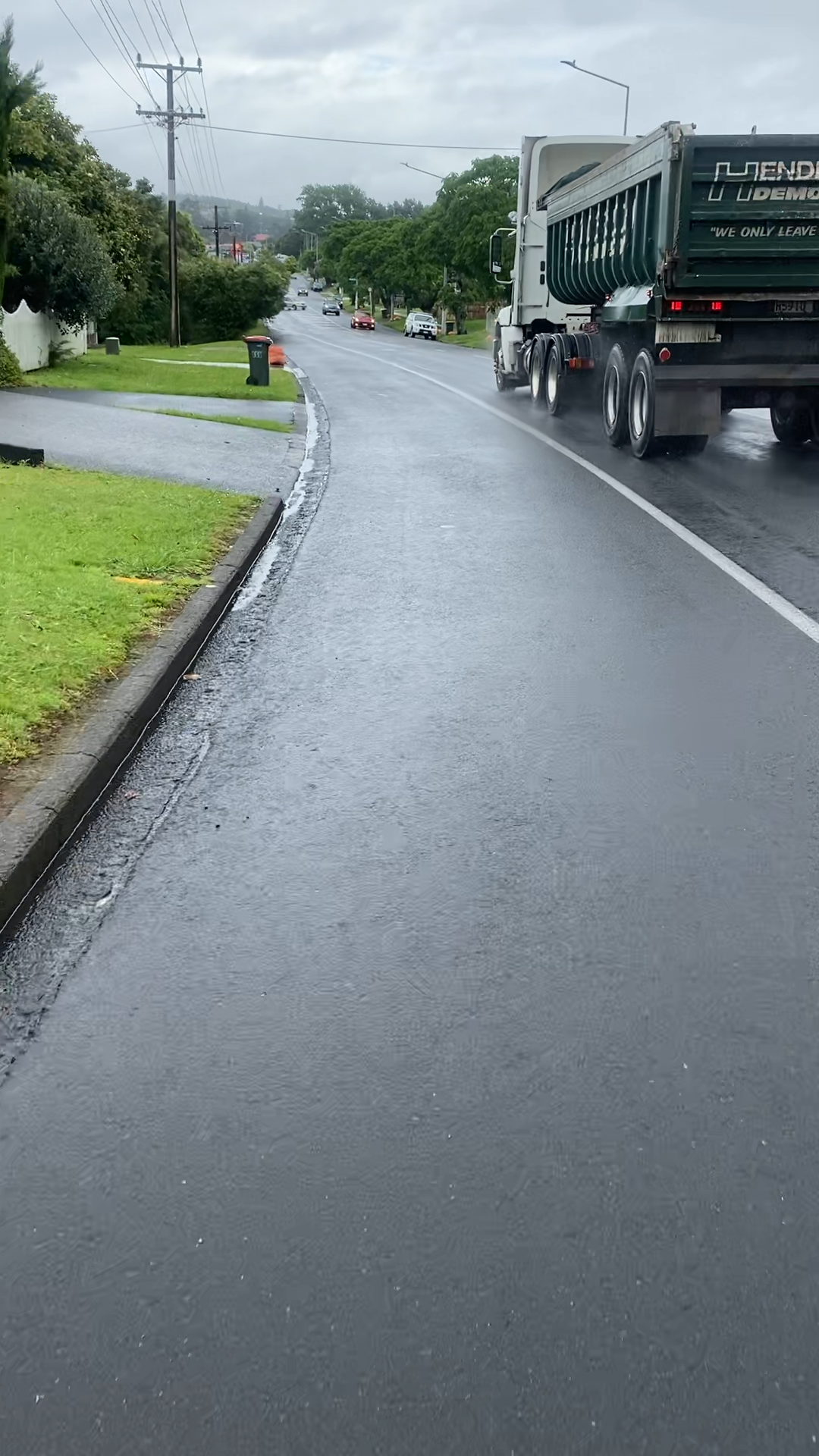
Thursday morning came with a nervous excitement; uncharted territory awaited, not to mention strong easterly winds and a subtropical-esque rain. The early commute to Newmarket was a little rough. I definitely was feeling sorry for myself; being all soggy with the air conditioning blasting is not my favorite thing. Arriving at Papakura train station, the air was thick and humid and the rain was constant. I naively waited for a break in the rain while sipping on a cup of tea (part of the camping prep I had done). I left it to the last possible minute before venturing out in the downpour. I rode the main road SH22 down to Pukekohe. It was a rough awakening riding on open roads, in the wet with traffic flying past. A good reminder on how unsafe it can feel riding around these roads, especially for locals. Trying to hurry up to make the 9.30am ride start I managed to get there right before everyone set off.
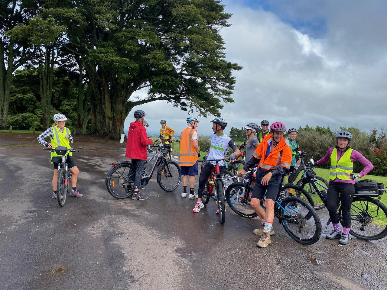
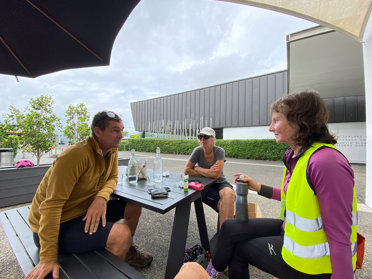
I arrived at the freshly built public library to find a 10-strong group of recreational e-bikers/cyclotouring bunch. Conversing with them, my understanding is that most of them were there because they wanted to be, impressive given the weather conditions. With little to no idea what to expect, I did my best to go with the flow. And with this attitude, I met Judy, Louise and Paul from the Franklin trail crew. What ensued was a gentle stroll around the back streets of Pukekohe. We went up short and sharp knolls at a relaxed pace.
I thoroughly enjoyed my time with all the people present. Riding with strangers reminds you of the diversity of people on two wheels. The ride was enriched by the extensive local knowledge and deep respect the crew had of their Tūrangawaewae. I learned about the spring that used to provide fresh water in the early days, foraged humongous tangelos, rode past fields of onions, discovered paper roads, hidden paths and visited a well loved creek filled with eels.
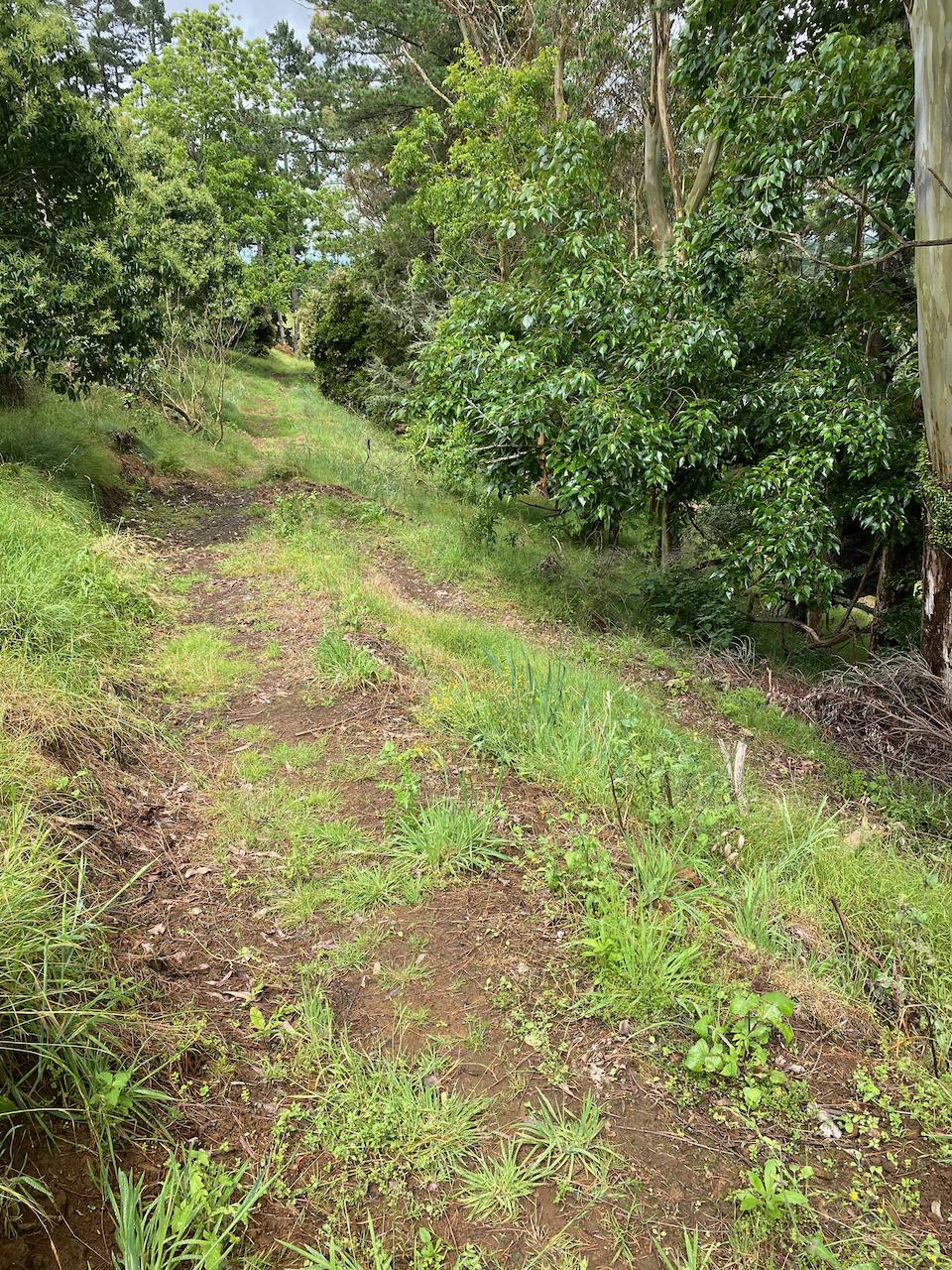
From the library, we calmly made our way towards Pukekohe Hill. Barely ten minutes into the ride a couple of blokes in a sacked out ute gave a piece of their minds to some of us. Water off a duck’s back. From listening to the locals, it seems like a common occurrence in this part of town. Cutting through a couple of reserves and past the Pukekohe hospital, reaching our steepest climb of the day we passed fields of onions and their distinctive aroma, what came to mind is sour cream and chives chips.
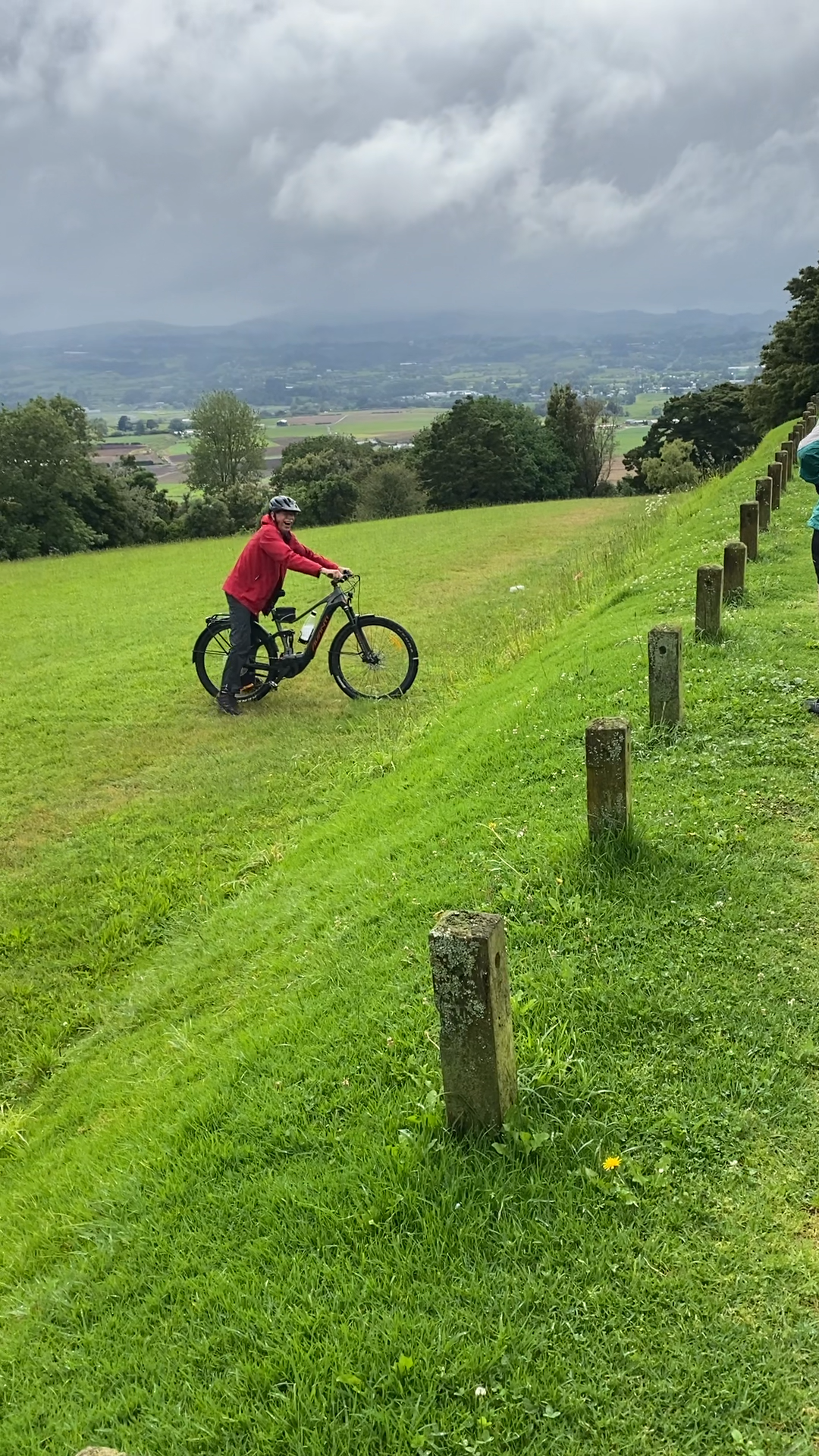
Climbing 222 meters can take a lot out of you and the humidity made it an even tougher climb. We hung out at the top, chit chatting about everything and anything. I did pick up on a couple of topics dear to me; hearing the group mourn the loss of Pukekohe fertile soil to the urban sprawl and the significance of the 5 summits in Māoridom. What stuck with me is that they are five children from the same mother (Papatūānuku).
Pukekohe Hill is the highest point on the whole ride, so it felt reassuring that it got easier from there on. As we were leaving, I overheard the others talking about a short trail dropping down through the back of the hill which I am looking forward to checking out on my next visit.
The downhill was a blast. The blur of the rural and the urban landscape as we boosted towards Belmont Rise. Arriving at the top of the knoll, I could not call this a destination at first glance but, upon closer investigation of the place, it was a whole new facet of Pukekohe.
Louise and Paul showed us a path linking to Helvetia, they went onto explaining the existence of paper roads and their legality. Most of the potential Trail and biodiversity corridor options exist on Council controlled land (on or alongside legal formed roads, on unformed legal roads, parks & reserves, esplanade reserves and marginal strips.)
Paul added that the access to the path is possible thanks to the enthusiasm of the youth community. He mentioned that around 150 kids took the time to clear the overgrown vegetation and clear the paths. What a way for young kiwis to develop Active Transport skills by engaging the community with creating pathways for connections.
There is potential to create a greater network of trails by cutting through private land, with the permission of the land owner. Franklin Trails’ experience of connecting with the private landowners is that they can be fickle at times but some business owners are super chill and don’t seem to mind change around them.
By this point, I could feel I was famished. Serendipity conveniently placed a couple of mature tangelo/mandarin trees growing on public land, laden with fruits the size of a fist. We couldn’t resist helping the tree with the load. I picked a handful of them and devoured them before I could even think of taking any pictures. Feeling refreshed and more hopeful for the next couple of hours we carried on our tour.
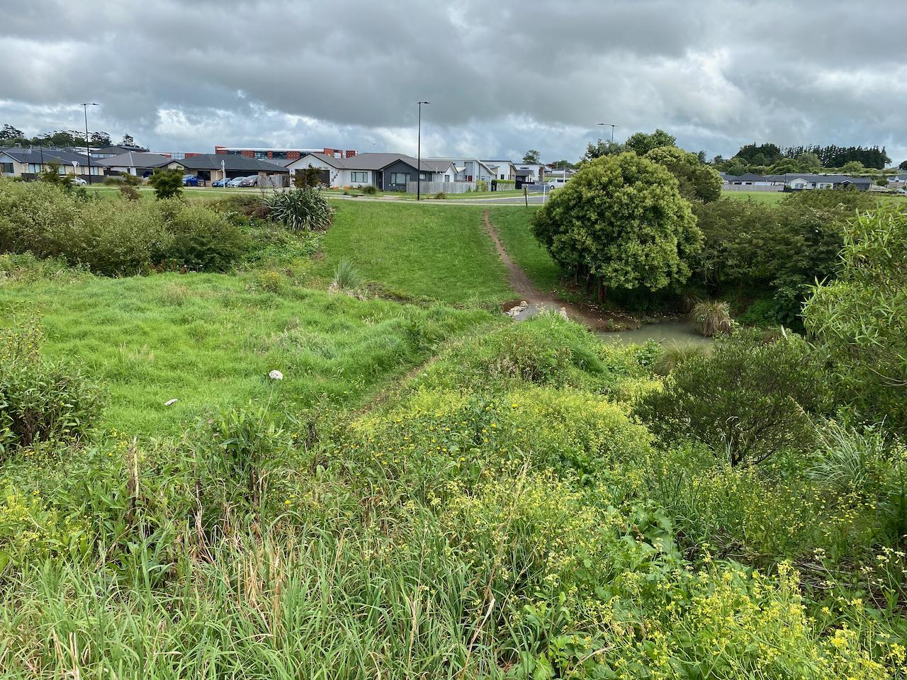
We reached the intersection of Adam Road South and Belmont Road, Judy pointed out a farm and mentioned that the place had been bought out by the Council to turn into a sports field, she added that an old spring was originating around the site.
The Spring in question feeds into Whangapouri creek which used to supply fresh water in the town’s early days. Along Belmont road through freshly built suburbs, we reached a stream crossing tucked in Ray Fausett Reserve. A place well known by the locals due to its abundance of eels living in the waters. The stream was a bit cloudy from all the precipitation of the past week. And the flora was taking full advantage of it. The place was lush with green. A great reminder of the necessity of incorporating nature in the urban landscape.
Franklin Trails’ intention is to see cycling budgets used smartly across a wider range of projects in order to develop connections. Something like clearing paper roads, planting native/fruit trees, creating safe spaces. The fact that there are around 34 suburbs surrounding Pukekohe and none of them are linked with public transportation is hard to believe. Places like Clarks Beach, Otaua or Tuakau pops to mind. Connecting them using what is already there could be key to the development of the region.
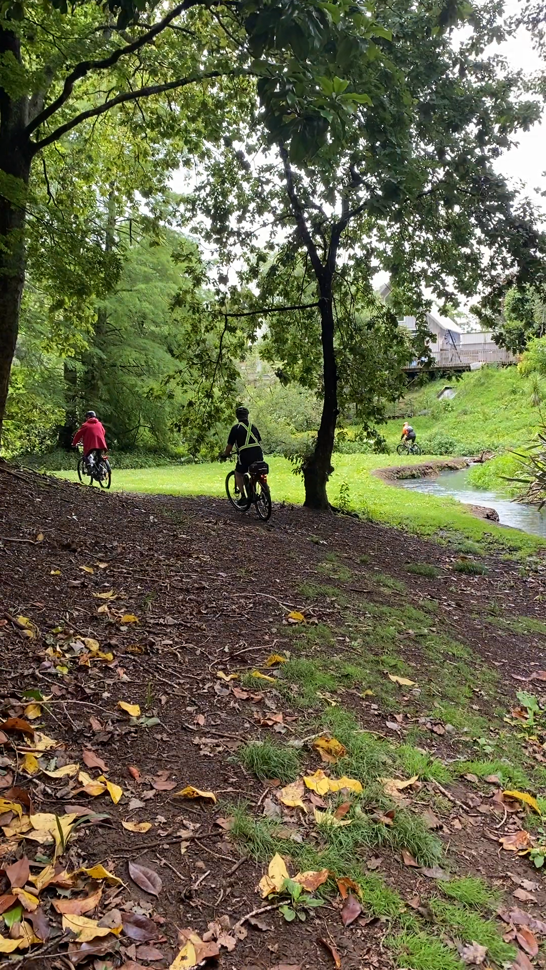
My mind was pin bowling all over, trying to make sense of the current situation and future plans for cyclists in Pukekohe. Never mind this, we gotta keep on riding, we followed through the reserve, following the stream through a mix of gravel trails and back streets. Linking up to Hickeys Reserve, This patch of history has its own energy. The place felt peaceful and idyllic with the stream nonchalantly meandering through the streets. There are traces of a 75 feet wide dam, used to divert water to a flour mill on Cape Hill, which we visited shortly after.
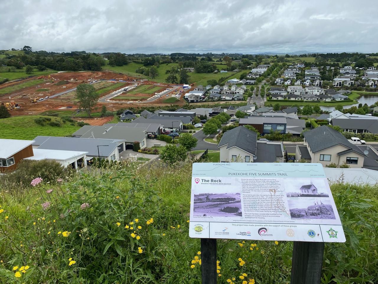
The fourth stop of the tour was a different experience altogether, riding up a ridge line through what appeared to be freshly built houses. Searching for a bit of shade to ride under but no tree cover in sight. I like to think that you can tell the age of a street by the maturity of the trees growing around. Anyway, reaching the top of Glen’s Hill, also known as ‘Raven Rock’, we took the time to rest. As I sat there overlooking the suburban sprawl with the mechanical clacking of bulldozers scrapping the earth in the background, I let my mind drift through the past, present and future of the county.
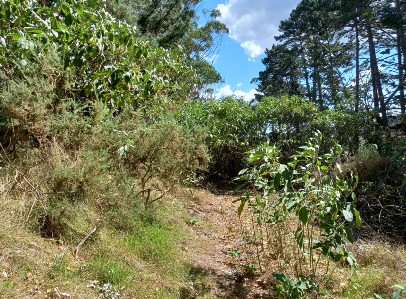
My bubble of thoughts popped when it got time to fasten our helmets and direct ourselves to the last hill of the day. Linking up to Roseville Park Via Ngahere road, I could feel the fatigue, and with the tar on the road reflecting the midday sun it was a stark opposite from the morning. I wasn’t the only one feeling a little worse for wear at this stage. After getting to the top, we kept the wheels rolling as the day was getting on. What I remember of riding around the hill is the high canopy and density of the bush. It made me wonder how luscious Pukekohe could have looked covered in native flora. Judy talked about the rock formations that can be discovered through a quaint trail. It will have to be for another time. We headed back to the library for a little kōrero, bombing down the hill and 4 corners later and we were back where we started.
Finally sitting down at the Caterpillar Café, I overheard a potential project with the Glenbrook steam train company, a vintage train company offering tours around the area. The train tracks are already there and there is potential to develop regenerative/carbon credit cycling trails along the train tracks and plant native biodiversity. This could be a huge opportunity for connecting Waiuku to Pukekohe with low-impact, low cost, sustainable active transportation.
Looking at google maps, there is a train track from Pukekohe all the way to Waiuku. Judy, Louise and Paul all emphasize the importance of treading lightly, being respectful and honoring tangata whenua. Local iwi (Ngāti Te Ata, Ngāti Tamaoho, Ngāti Tai to name a few) have been using the paper trails pre-colonial era and it would be natural for them to lead the way with developing the vast network of trails. Allowing for it to be a space for ‘user-generated’ urbanism.
The Franklin Trails crew make sure to tick all the boxes with the iwi, local boards, permissions with private owners, businesses when planning new trails. The task at hand can feel mountainous but I wholeheartedly believe in the likes of Judy, Paul and Louise when it comes to making considered decisions around cycling regarding future developments for Franklin County.
A savory muffin, caramel slice and green tea later Paul and Louise took the time to show me out, cutting through King Street in town. Classic Single lanes with diagonal car parks. The traffic was heavy and slow moving for a Thursday afternoon. I quickly realized that it was because cars coming in and out of car parks interfere with the traffic flow, let alone the drivers scouting for the elusive space but then double parking in the middle of the street. All this was happening while cruising through the main stretch. It made me wonder what would happen with the current boom in population resulting from the suburban expansion. How will the established and new residents feel when the road infrastructure cannot handle the increased traffic pressure?
Paul explained the difficulties in developing car-free streets in the town center. Shop owners feel like they rely on the roads and the convenience for their customers to double park and pop in. Truly, it is scary to possibly see your livelihood made more difficult because of changes happening out of your control. However, making streets safer for walking and cycling can have a positive impact for shops profits. Studies from overseas and Aotearoa NZ show profit increases with cycleways and street upgrades – even when car parks are removed. Changing our streetspace, although often scary, can often create positive outcomes for everyone.
As they guided me on the edge of town via a neat little trail through Ernie’s Reserve, I bid them farewell and followed an alternate return route Louise suggested. With tailwinds guiding me out of town, I spent the ride back to Papakura processing the whole experience. The rest of the journey was a blur as I raced the clock to catch the train back to the central district. Returning home enriched me with new experiences and new perspectives.
The 5 summits trail is a great way to gain a lay of the land. As well as its rich soil, Pukekohe is rich culturally, geographically and historically. The potential is huge to showcase what Pukekohe has to offer. Franklin Trails have a strong, experienced, dedicated and knowledgeable crew doing the mahi in their community at a grassroot level. If you have managed to read this far into the blog then possibly you could spare an email, connecting with your local board members and starting a conversation with them about what you envision the future of cycling in your area.
Teva Chonon is Bike Auckland’s new Community Activations Manager, bike mechanic and avid cyclist adventurer who joined us in December 2022.


